

Large acreage crop-calendar imaging, under the cloud deck.
Multispectral, thermal, LiDAR, and specialty sensors: configurable per mission, multiple sensors on a single sortie. Whole-farm coverage at the cadence the crop actually needs.
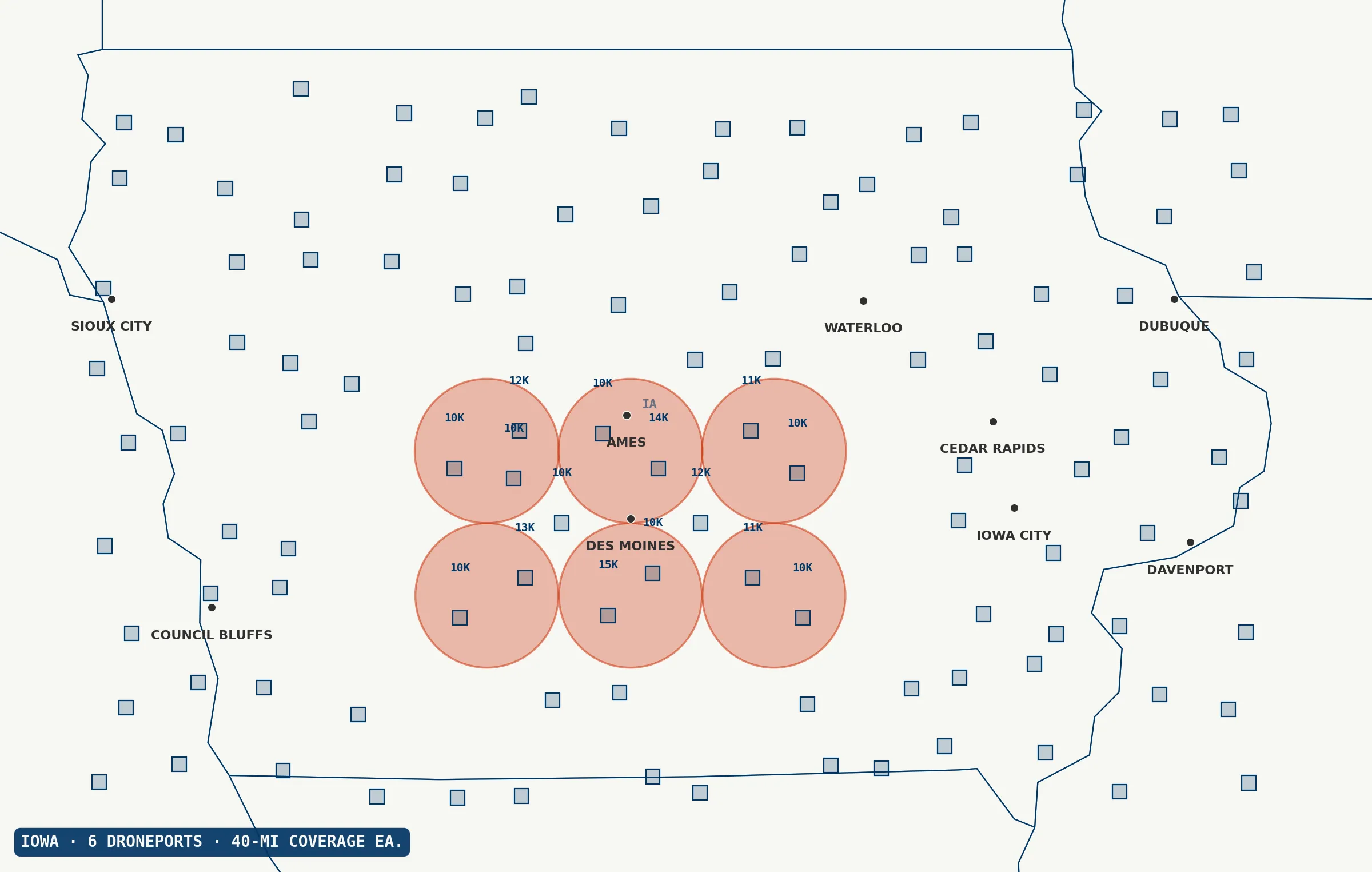
What a week of flying does. In one pass.
Range gets the aircraft to the field. Payload determines what the flight is worth.
Large-acreage, high-value decisions: variable-rate prescription mapping, insurance loss adjustment across regions, forestry carbon inventory, and precision irrigation planning. The combined range-plus-payload profile turns a week of logistics into a single sortie.
Sensor stacking and specialty instruments.
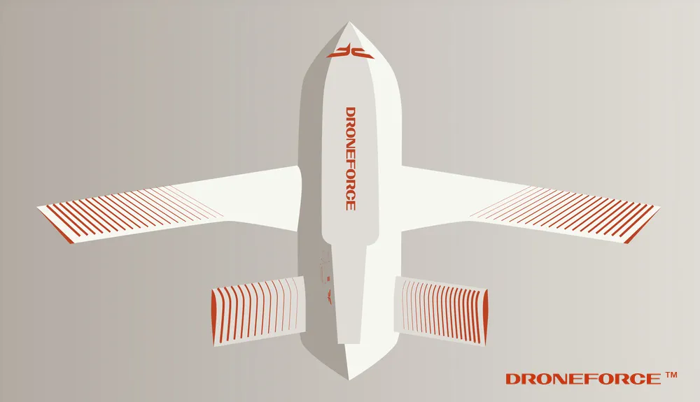
Typical ag drones carry a single multispectral camera or an RGB system. The Droneforce™ 55 flies pro-grade multi-sensor loadouts, including specialty instruments most drones can’t carry, configurable per mission, with multiple sensors on a single sortie. LiDAR for canopy structure plus a multispectral payload on the same flight gives fused 3D and spectral datasets in one pass. Multiple flight days collapse into one mission. Datasets that used to require research-grade flight economics become routine capture.
Across every alternative.
- vs. satellites Higher resolution, on-demand tasking, cloud-penetrating thermal and LiDAR.
- vs. manned aircraft Whole-farm coverage in one mission, emissions-free, no pilot scheduling.
- vs. standard ag multirotors Orders of magnitude more coverage per flight and richer simultaneous sensor fusion.
- vs. fixed-wing mapping drones Comparable range but much greater sensor flexibility from the payload capacity.
Whole-farm data at crop-calendar cadence.
Data from a networked Droneforce™ fleet, integrated with the systems you already run, keyed to the assets you already manage, delivered into the tools your operations team already uses.
Multispectral, thermal, LiDAR, and specialty-sensor data at whole-farm scale, AI/ML-processed on-board, streamed via Droneforce One’s API into your precision-ag analytics stack. Ready for ingest by variable-rate prescription, crop-modeling, and yield-forecasting platforms operators already run.
Prefer to talk first? Tell us what you need.
Prefer to chat before ordering? No problem. Operators, program officers, integrators, and investors can reach the right team through this form. Tell us what you need and we’ll respond within one business day.